How to report a pothole in your Ontario city
A 60-second guide to reporting a pothole anywhere in Ontario with SpotFix — photo, GPS, and a public pin so your city sees it the same day.
By The SpotFix team
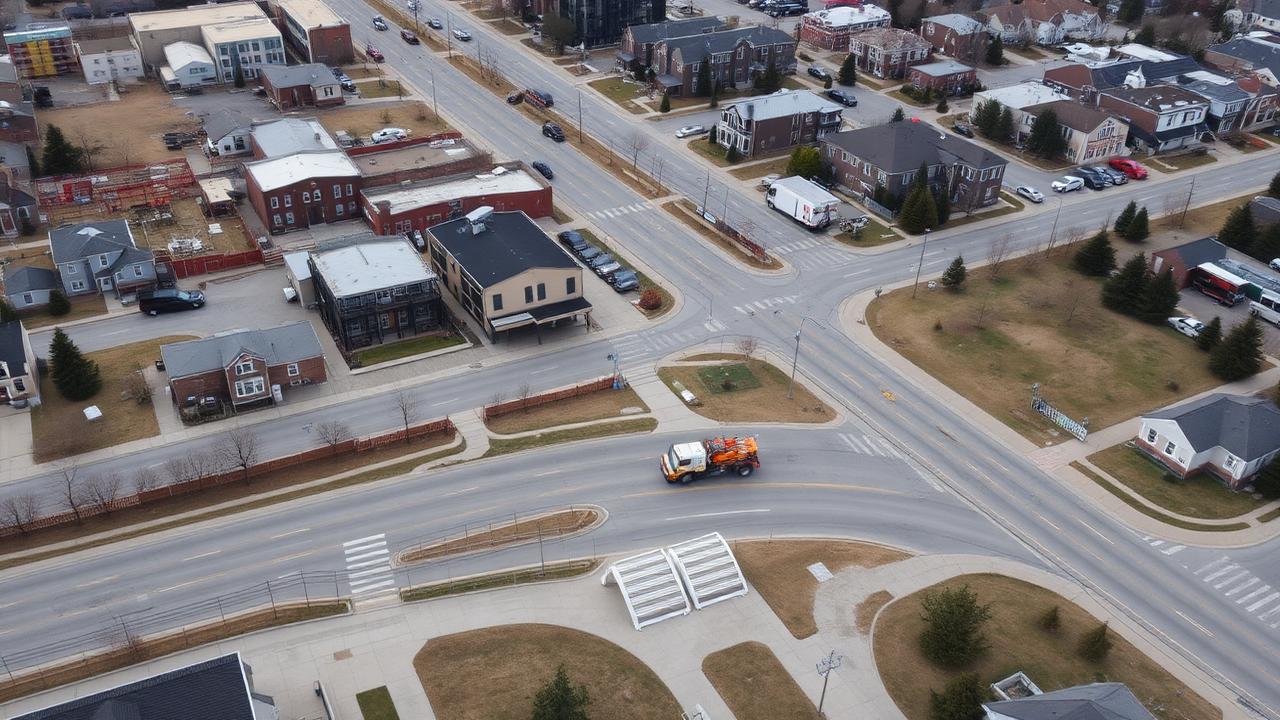
Pothole season hits Ontario hard. After a long stretch of freeze-thaw, a hairline crack on Tuesday is a tire-eater by Friday. Cities across the province have crews out every spring chasing them down — but they can only fix what they know about.
Here's the fastest way to make sure the one outside your house actually gets noticed.
What makes a useful pothole report
- Where it is (street name and nearest cross street)
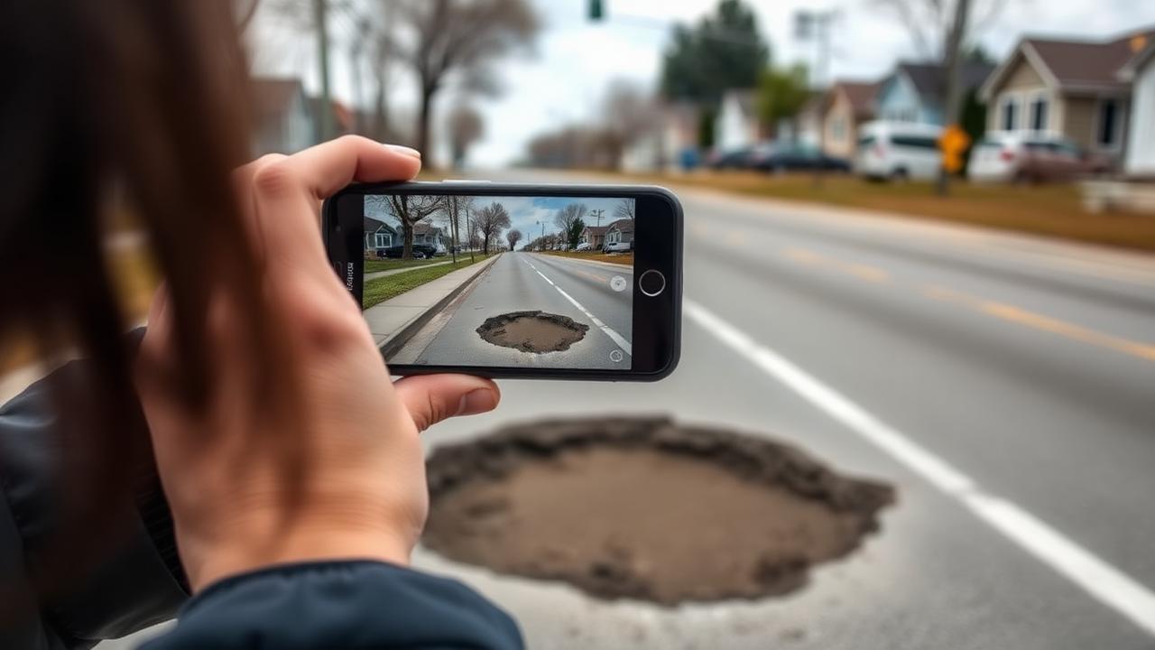
- What it looks like (a quick photo beats a paragraph)
- Roughly how big and deep it is
- When you saw it
- Whether it's already getting hit by traffic
How to do it with SpotFix in under a minute
- Open SpotFix.ca on your phone
- Tap Report Issue
- Take a photo of the pothole
- Confirm the location (GPS fills it in)
- Add a quick note and submit
The report drops a pin on your city's public map. Other residents can see it, upvote it, and avoid it. The city sees it alongside every other reported issue, sorted by hotspot and severity instead of buried in a voicemail box.
Why a map beats a phone call
Phone calls disappear into a queue. A map shows patterns. If the same stretch of road lights up with a dozen pins, it moves up the priority list on its own. If a hole gets reported five times in a day, those five reports merge into one upvoted issue instead of five duplicate tickets.
CAA's 2025 Ontario Worst Roads campaign pulled in nominations for more than 2,400 roads across 208 municipalities. A live, public map is the closest thing we've got to making that visible week to week instead of once a year.
Built in Canada, for Canadian roads
SpotFix was built in Northern Ontario, by people who drive these roads every winter. If you've got a pothole worth flagging anywhere in Ontario or across Canada, you're exactly the audience this was made for.
Spot it. Report it. Map it. Help get it fixed.